GIS mapping integrates environmental, ecological, planning, and physical data into a single spatial framework. This supports constraints mapping, site appraisal, spatial planning, and clear visualisation for planning submissions and environmental reports.
Ecological GIS mapping analyses habitat distribution, species records, and ecological connectivity at site and landscape scale. This supports ecological assessment, biodiversity planning, and evidence-based decision-making under planning and biodiversity policy requirements.
Remote sensing uses aerial and satellite data to assess land cover, vegetation condition, and environmental change over time. This approach supports large-scale assessment where ground survey alone may be limited and complements field-based survey data.
Drone mapping and photogrammetry provide high-resolution imagery and three-dimensional models for site analysis. This supports topographic mapping, baseline data collection, habitat assessment, and design development in accordance with planning and environmental assessment needs.
Spatial analysis examines relationships, patterns, and change across environmental datasets. This may include habitat suitability mapping, land-use analysis, and ecological modelling to support environmental assessment and planning decisions.
Environmental map production translates complex spatial data into clear, accessible outputs. Maps are prepared to support planning applications, environmental statements, technical reports, and stakeholder communication.
Contact HalpinRobbins for GIS mapping, remote sensing, and spatial analysis services across England and Wales. Our team will help you gain clear, reliable insight from your environmental and spatial data.
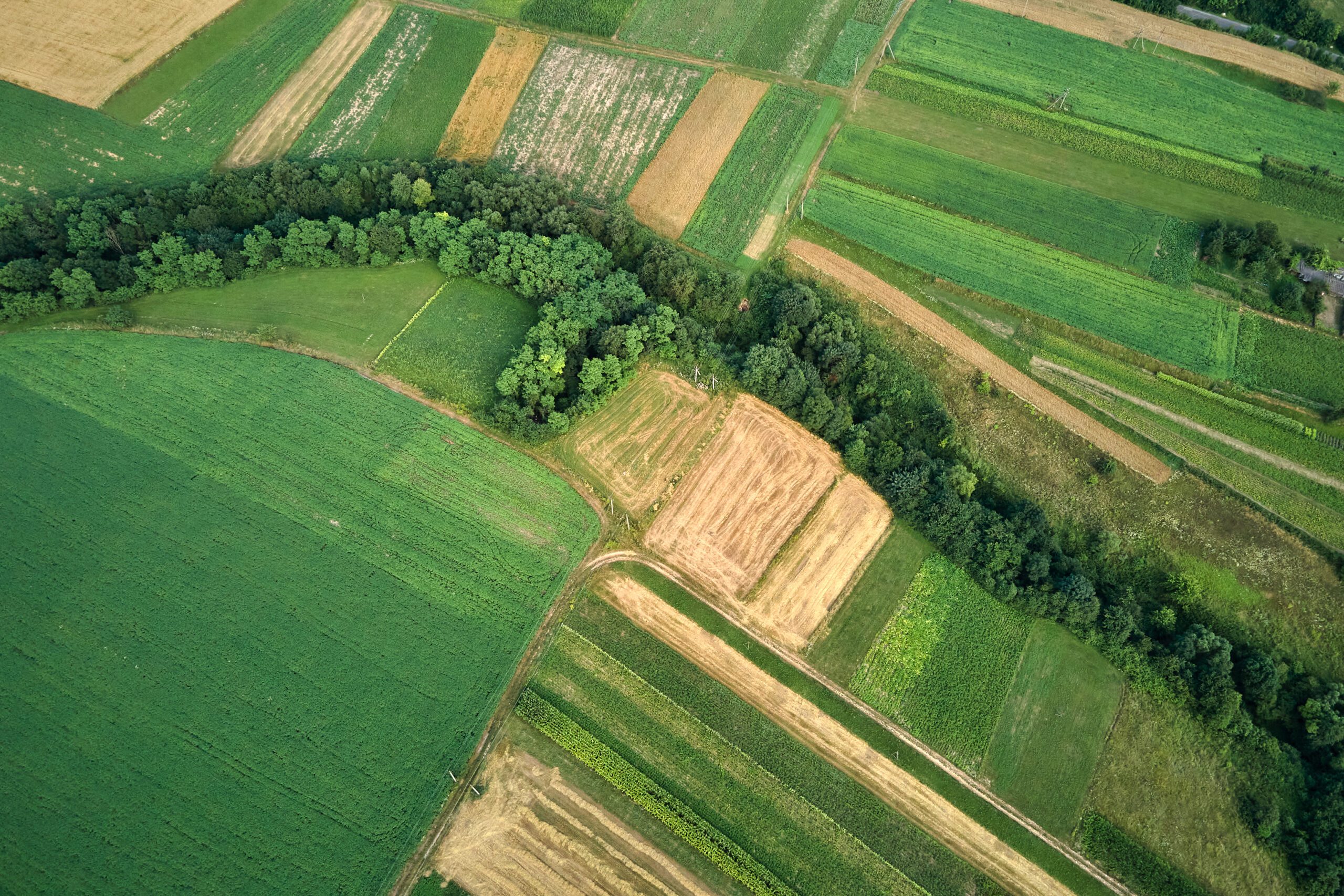
GIS and remote sensing require technical expertise combined with an understanding of how spatial data informs real-world decisions. HalpinRobbins delivers spatial analysis that is accurate, proportionate, and aligned with planning and environmental assessment requirements.
You receive clear outputs, practical interpretation, and mapping that integrates seamlessly with environmental, ecological, and planning workflows. Early involvement helps reduce uncertainty, improve evidence quality, and support efficient project progression.

HalpinRobbins provides GIS mapping and remote sensing services that transform complex spatial data into clear, decision-ready insight. These services support planning, environmental assessment, ecology, and land management by identifying constraints, sensitivities, and opportunities across sites and wider landscapes.
Using Geographic Information Systems (GIS), drone mapping, LiDAR, and spatial analysis, we support proportionate assessment and evidence-led decision-making for planning submissions, environmental reporting, and strategic land management.
Contact us today to discuss your mapping requirements.
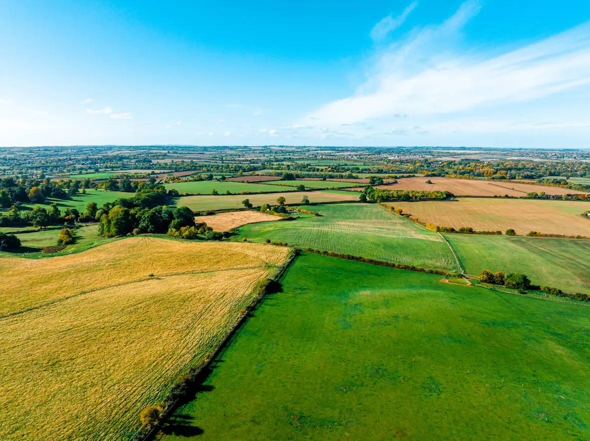
Accurate spatial information underpins effective planning and environmental decision-making. GIS mapping and remote sensing allow environmental, ecological, and physical datasets to be analysed together, supporting a clearer understanding of site context and potential effects.
This approach supports site feasibility, constraints assessment, design development, and environmental impact assessment in line with planning policy and regulatory requirements. Our services outline how spatial analysis and remote sensing provide clarity from early project stages through to detailed assessment and reporting.

Are you looking for a new website? Contact Outrank Today