Drone ecology surveys support habitat assessment and ecological appraisal by capturing detailed imagery of vegetation, waterbodies and landscape features. Aerial data improves understanding of habitat extent and condition while supporting efficient ecological survey planning.
Drone environmental surveys provide visual and spatial evidence to support environmental assessment and monitoring. This includes site condition review, change detection and support for baseline data collection.
Aerial ecology surveys assess habitat connectivity, landscape structure and ecological context at site and wider landscape scale. This supports informed impact assessment and mitigation planning.
Drone mapping and photogrammetry produce accurate, georeferenced models and imagery. These outputs support planning, design development and environmental reporting with clear spatial accuracy.
Topographic drone surveys deliver precise elevation data and terrain models. This supports site design, drainage planning and environmental feasibility assessment.
Volumetric drone surveys provide accurate measurement of stockpiles, earthworks, and material volumes. This supports construction planning, monitoring, and reporting.
Remote sensing ecology and GIS-integrated drone surveys allow environmental data to be analysed spatially. This supports constraints mapping, habitat assessment and informed decision-making across disciplines.
Contact HalpinRobbins for drone ecology surveys, aerial environmental surveys, and mapping services across England and Wales. Our team will help you move forward with accurate data and clear insight.
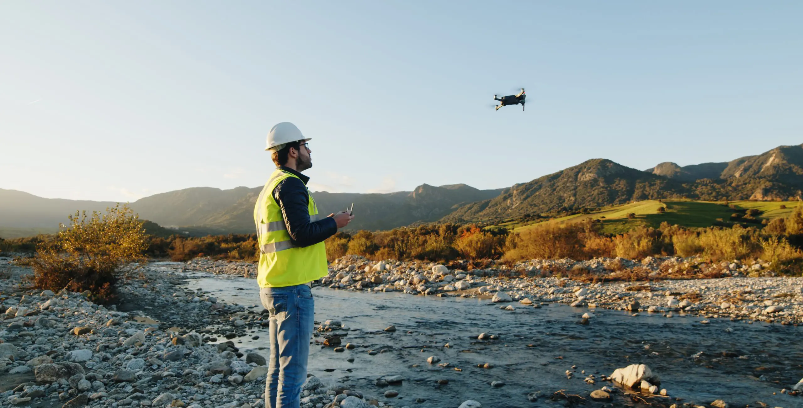
Accurate aerial data strengthens decision-making and reduces uncertainty at every project stage. Working with HalpinRobbins gives you dependable outputs delivered with a clear understanding of environmental and planning needs. You benefit from efficient data capture, reduced site risk, and outputs tailored to real project use. Our integrated approach ensures aerial survey data supports ecology, environmental assessment and design rather than existing in isolation.

HalpinRobbins offer drone and aerial services that provide clear, reliable site information without disruption on the ground. Our drone ecology surveys, aerial environmental surveys and mapping services support planning, design, and environmental assessment with precise data you can trust. Using high-resolution imagery, photogrammetry and remote sensing techniques, we help you understand site conditions, constraints and opportunities early, supporting informed decisions and efficient project delivery.
Contact us today to discuss your site requirements.
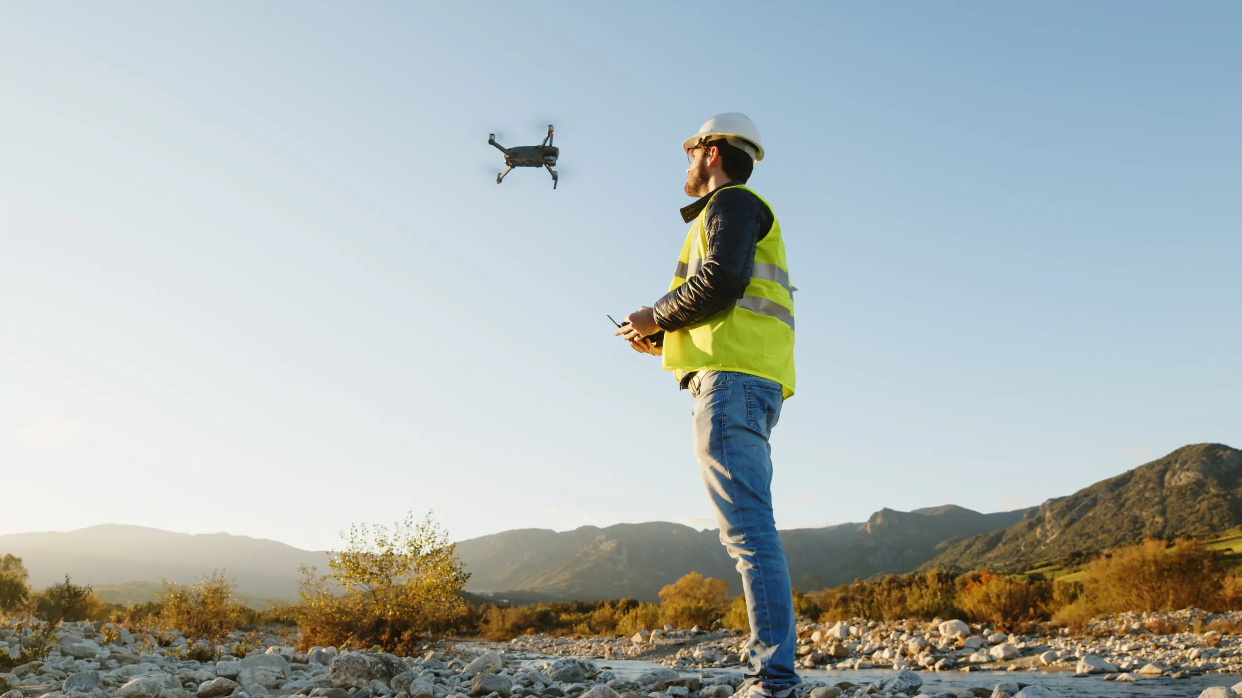
Drone and aerial surveys provide detailed insight into site conditions that traditional ground surveys alone often miss. Aerial data improves understanding of topography, vegetation structure, habitat extent and site access. This information supports early feasibility, ecological assessment, and environmental planning by providing clear visual and spatial evidence. Reliable aerial surveys help reduce assumptions, support accurate reporting, and improve coordination across project teams.
Drone-based survey methods deliver high-quality data quickly and consistently. This approach reduces time on site and improves coverage across large or complex areas. Integrated GIS mapping and remote sensing allow survey data to feed directly into ecological assessment, environmental reporting, and design workflows. Our services explain how drone and aerial surveys support confident project decisions.

Are you looking for a new website? Contact Outrank Today